TIB 14
Western Asia Minor: Lydia and Asia
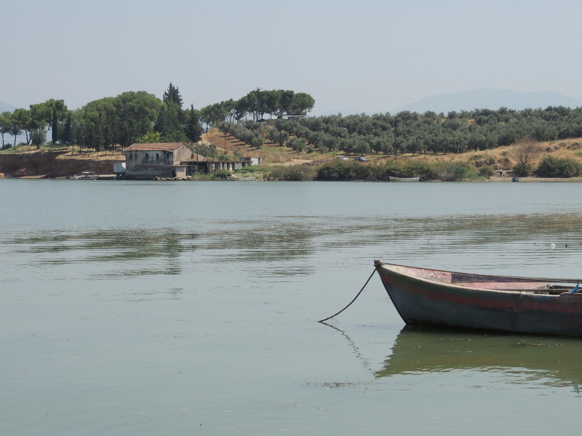
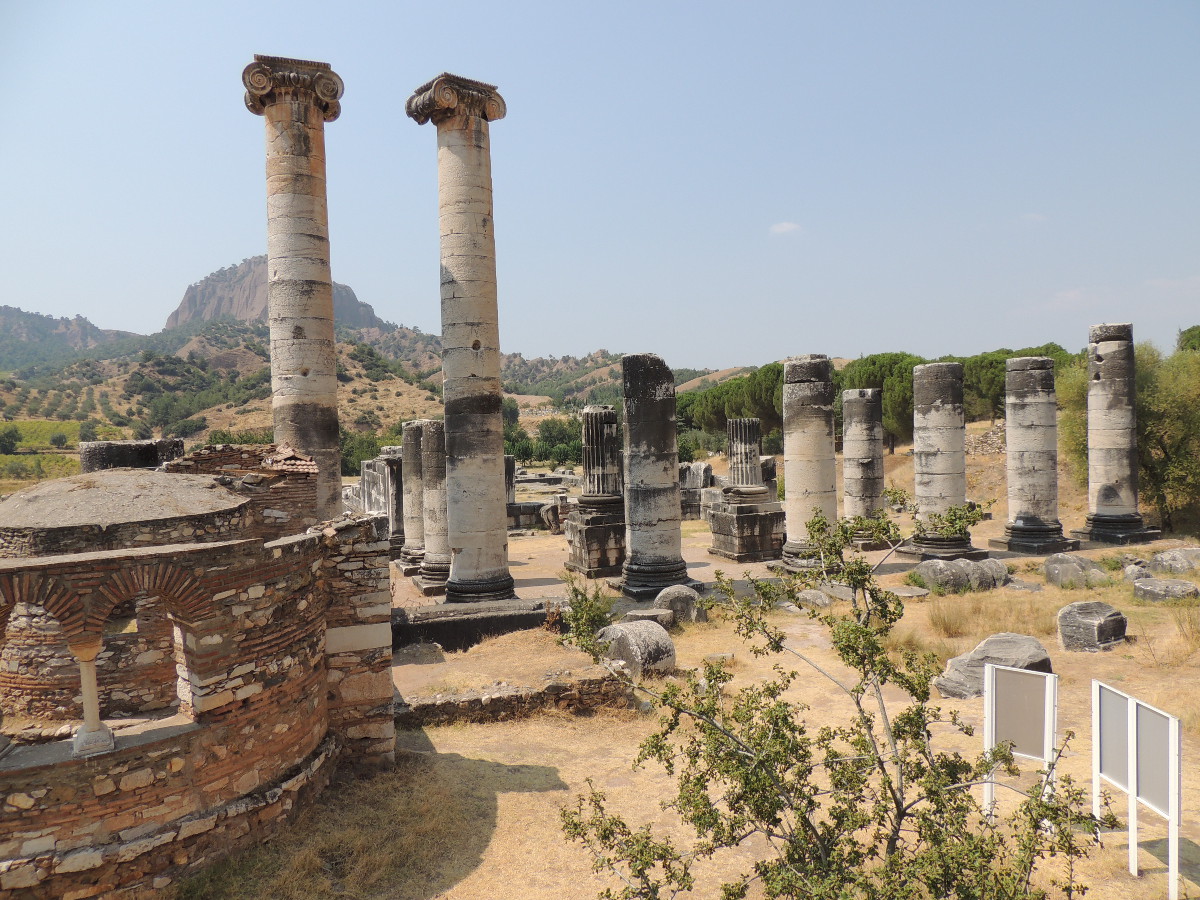
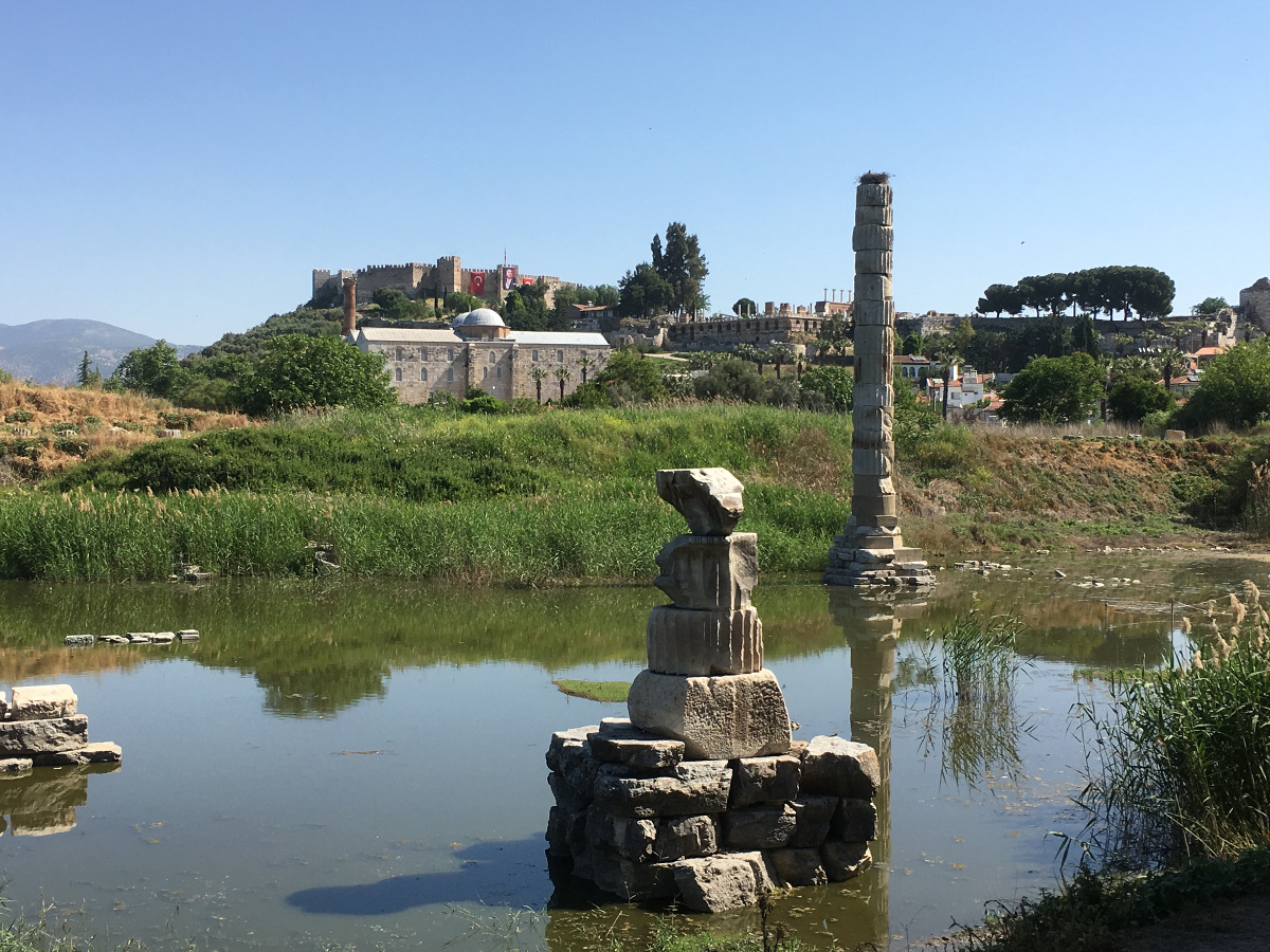
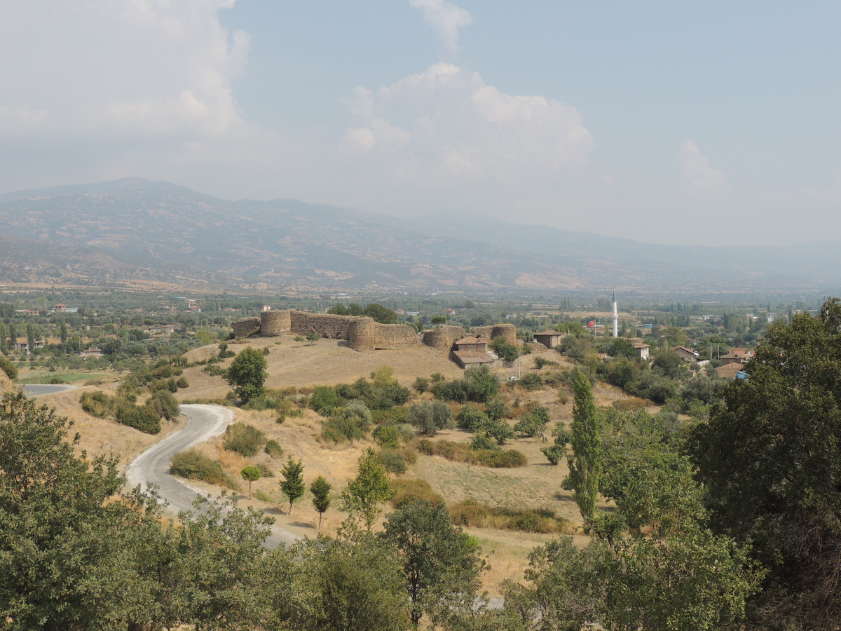
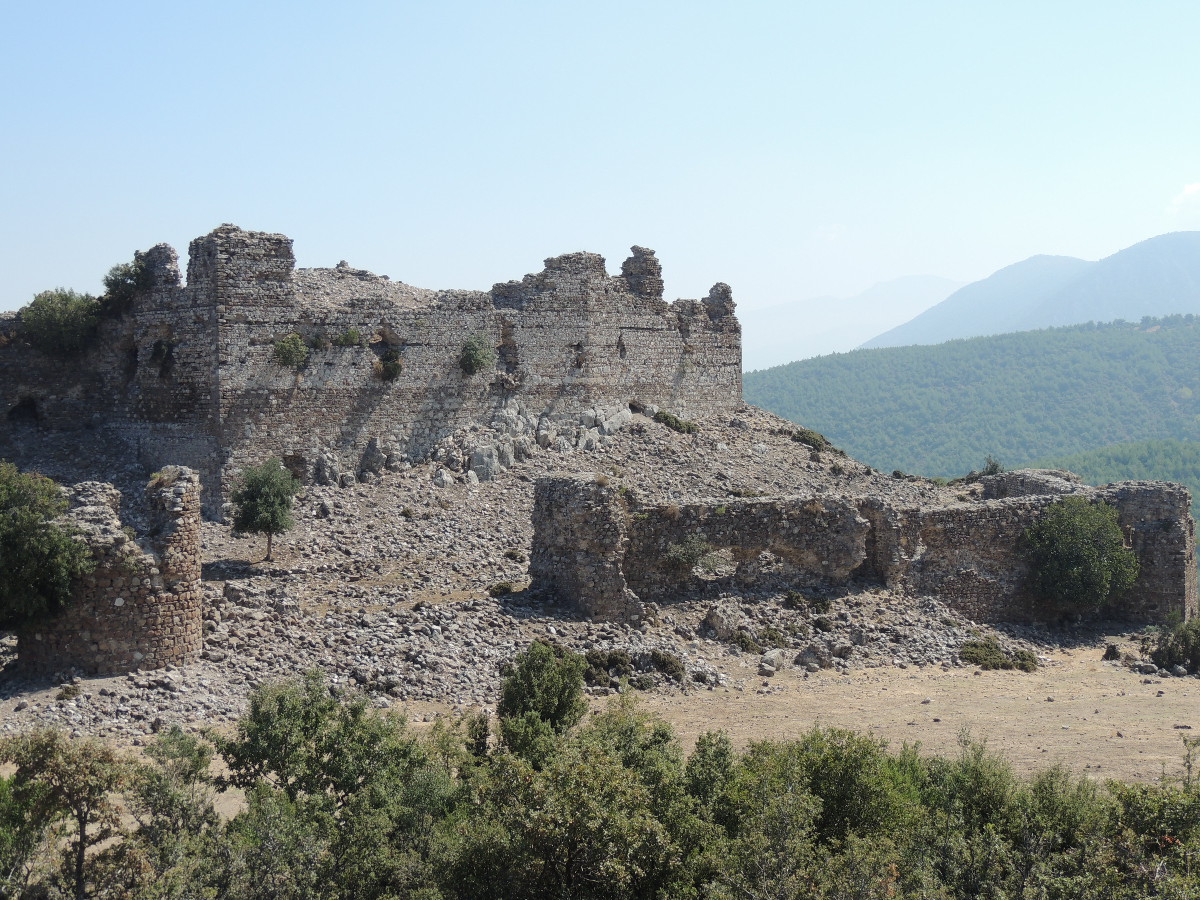
Western Asia Minor was already an important landscape in ancient times, enriched by numerous settlements with enormous cultural potential and considerable economic power. In this region, the Romans established their first province in Anatolia, in the year 129 BC. Consequently, they called the region Asia. Some centuries later, in the time of Emperor Diocletian (284–305), the huge province with a size of more than 150,000 square kilometers was divided into several smaller units, which continued to exist in the early Byzantine period. One of them was Lydia, about 16,000 square kilometers in size, with its central places in Sardis (Sart), Thyateira (Akhisar) and Philadelphia (Alaşehir). The most important rivers were Hermos (Gediz çay) and Cogamus (Alaşehir çay). The new province of Asia owns only 19,100 square kilometers; it was considerably smaller than the former Roman one. Among its central market places, one has to mention Ephesus (Selçuk), Pergamum (Bergama), Smyrna (İzmir) and Magnesia (Manisa); its main river is the Meander (Büyük Menderes Nehri). The project “Western Asia Minor” is dedicated to this core region of the Byzantine Empire, the mentioned landscapes will be analysed by interpreting written sources, toponyms, archaeological remains, and the physical state of the landscape. The picture will be completed by using the results of settlement theories, digital humanities and similar methods of research.
Description
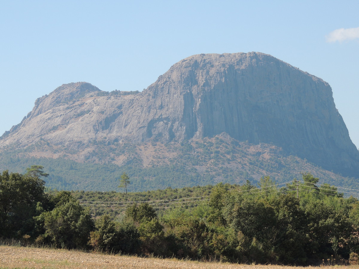
The volume deals with the late antique provinces of Lydia and Asia, thus leading into the central landscapes of western Anatolia between the up to 1,774 m high Kaz dağları, the ancient Idē Mountains in the north and the mouth of the Maiandros, today Büyük Menderes Nehri, south of the Dilek dağları, formerly Mykalē, in the south. The working area of slightly more than 35,000 km2 touches the south of the modern Turkish province of Çanakkale, the west of Balıkesir province, the provinces of İzmir and Manisa in their entirety, furthermore the west of Uşak, the northwest of Denizli province and the north of Aydın province. The volume connects to the south with TIB 13 "Bithynia and Hellespont", to the west with TIB 7 "Phrygia and Pisidia" and to the north with TIB 18 "Caria", which is still in preparation. The most important cities in the area of the former province of Asia were Ephesus (Selçuk), Smyrna (İzmir), Pergamon (Bergama) and Assos (Behraim Kale). Today, apart from İzmir, the largest and most important city in the area, Manisa (Magnēsia Anēlios), Aydın (Tralleis) and Edremit (Adramyttion) deserve mention. In the area of the former province of Lydia, Sardeis (Sart) and Philadelpheia (Alaşehir) are noteworthy, and among the modern cities, Akhisar (Thyateira), the largest city in the area of the former Byzantine Lydia, should be mentioned. The most important rivers in the region are the 129 km long Kaïkos (Bakır çay), the approximately 400 km long Hermos (Gediz çay), the approximately 130 km long Kaӱstrios (Küçük Menderes) and the Maiandros, with approximately 550 km the longest river in Western Anatolia. The rivers all flow in a more or less direct line from east to west to enter the Aegean Sea.
Andreas Külzer